Blog
Texas wildfires: The unexpected path of emergencies
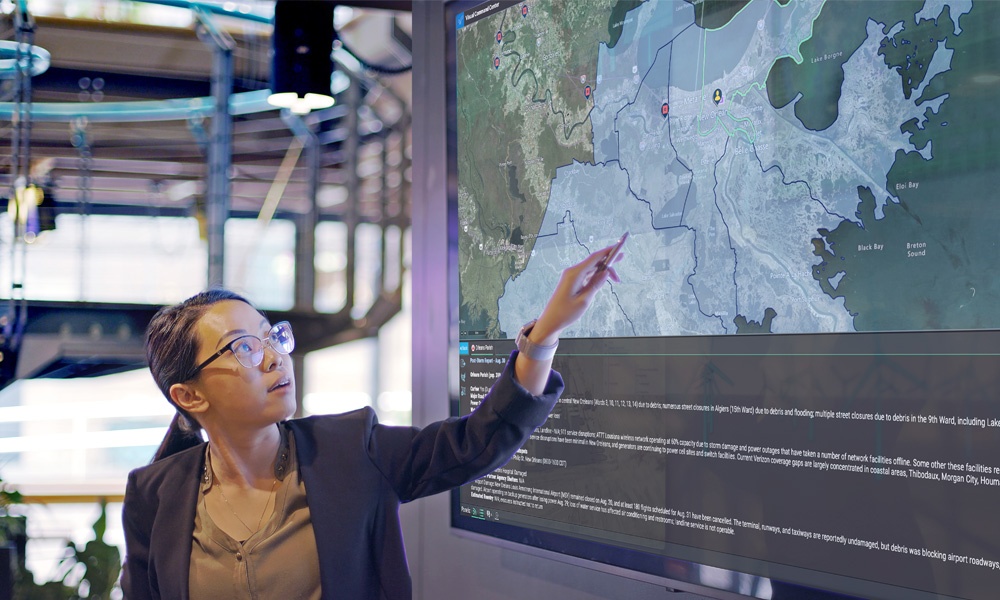
Vivid photos from the Texas wildfires are reinforcing just how unexpected and overwhelming the effects of natural disasters can be. Similar to Japan’s recent devastation, the wildfires are creating destruction across a vast geographic area while taking unexpected turns in every direction. As dry brush poses large risks for cities and towns, the need for geospatial intelligence (GIS) is crucial for managing large wildfire risk and emergencies. The ability to access critical data on a map can provide local agencies with the critical intelligence they need to form their response plan, notify citizens and deploy the appropriate tactics. The extra layer of protection can really give emergency plans the accuracy that constituents and emergency responders need in the event of the unexpected. Think of how commonly you use Google maps, or similar applications, to locate a business or restaurant with real-time traffic updates. Imagine how that GIS intelligence could make a significant difference in critical decision making situations. Whether it’s alerting specific households in the expected path of a wild fire, or the volume of businesses in the vicinity of a gas leak—geospatial intelligence is the next best set of eyes in this era of natural disasters. To learn more about Everbridge’s SmartGIS® application that improves incident notification with visual intelligence, click here.
Related resources

Setting the stage for safe and successful large-scale events
Join our panel of experts including representatives from the US Army as they share their experiences of navigating the complexities of large-scale event risk mitigation.
BLOG

Ensuring workplace safety through Senate Bill 553 compliance with Everbridge
By Sean McDevitt, Director of CEM Product Marketing at Everbridge Senate Bill 553, commonly known as SB 553, is a pivotal…
The road to organizational resilience: Best practices for success
Join us for an engaging webinar led by experts from Everbridge and Deloitte, as we delve into the essential strategies required to build true organizational resilience.